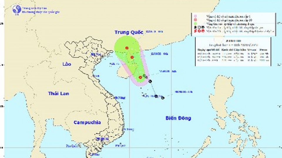
At 1am on August 14, the centre of the typhoon will be located in the southern territorial waters of China’s Guangdong province with strongest winds reaching 60km-75km per hour.
Over the next 72 hours, the typhoon will track west at a speed of 10km per hour. The forecasting centre said showery rain will spread throughout the northern localities on August 14-15 and heavy downpours will affect the north central region.
Further complicating matters, due to the impact of the tropical convergence strip and southwestern monsoon, there will be strong winds and rough waters in the East Sea area and in territorial waters from Binh Thuan to Ca Mau.
Thunderstorms, gales and tornadoes are likely to affect areas of the Tonkin Gulf and territorial waters from Binh Thuan to Ca Mau, Kien Giang and the Gulf of Thailand.
The forecast is for showers and heavy downpours in the north and north central localities on August 15-17.